top of page

WHATSAPP US ON +27 (0) 64 543 8653

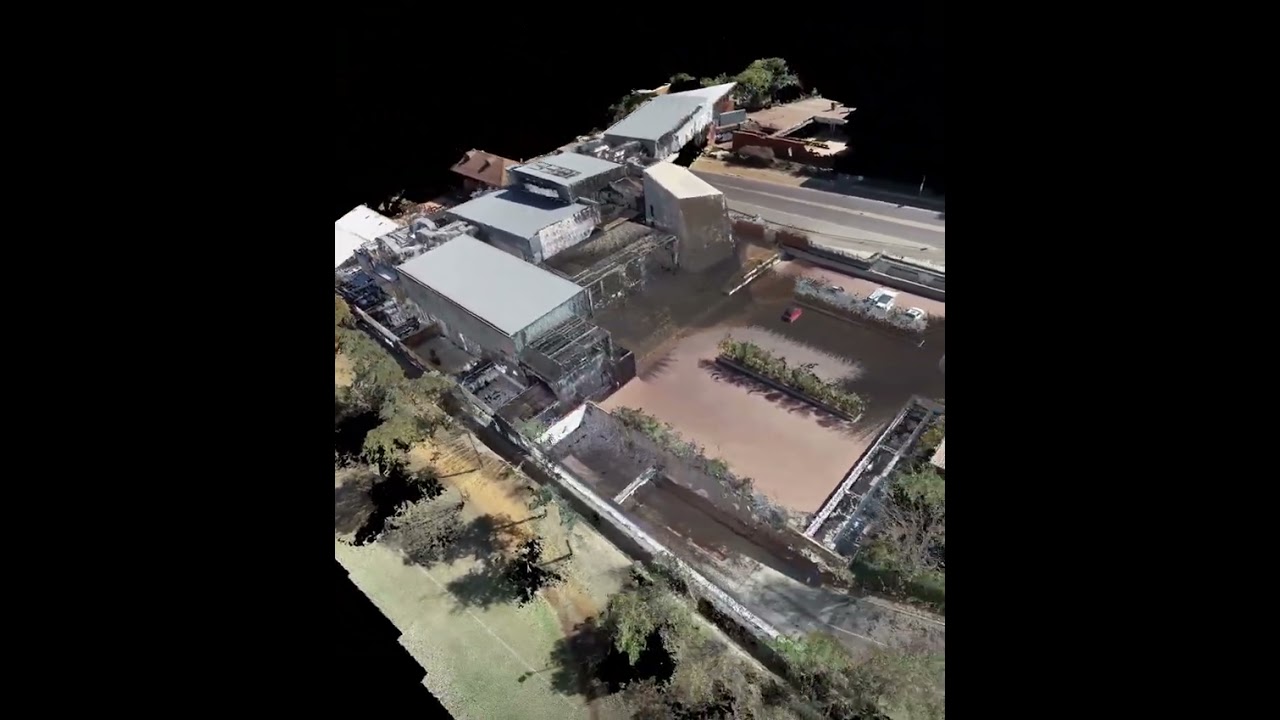
AERIAL SCANNING
Working closely with our RPAS Operating partners, we have a network of skilled pilots and camera operators. Using the latest in mapping and processing technologies, we deliver a variety of safe, reliable and creative drone solutions for all our clients.
Our aerial scans can be combined with our terrestrial scans to provide a highly detailed, full scale 3D Model. We have various drones available so no project is to big or to small.
Aerial Scanning is ideal for use cases such as:
- High Rise Buildings or large area captures
- For the film and advertising industry
- To survey difficult or dangerous areas that people cannot access like mining sites, disaster stricken areas or mountainous/jagged terrain.
AERIAL SCANNING PROJECTS
Search video...
Jarvett Art Centre Scan
01:13

BMNH Scan to BIM
00:42

Interior, Exterior, Arial Point Cloud of Warehouse
00:14
bottom of page